________________
Chapter 05
(A)
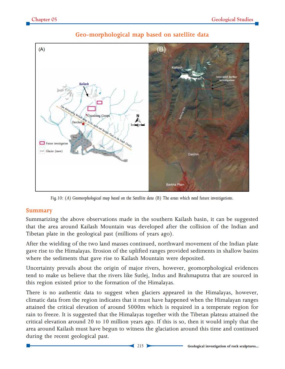
Geo-morphological map based on satellite data
(B)
Future investigation
Glacier (snow)
Kailash
Line demarcating Kailash ange in the north and Barkha Plain in the South (Fault)
Gyandrang Gompa
Darchen
z<
Kallash
Barkha Plain
Darchin
Geological Studies.
Ares need further investigation
Fig. 10: (A) Geomorphological map based on the Satellite data (B) The areas which need future investigations.
215
Summary
Summarizing the above observations made in the southern Kailash basin, it can be suggested that the area around Kailash Mountain was developed after the collision of the Indian and Tibetan plate in the geological past (millions of years ago).
After the wielding of the two land masses continued, northward movement of the Indian plate gave rise to the Himalayas. Erosion of the uplifted ranges provided sediments in shallow basins where the sediments that gave rise to Kailash Mountain were deposited.
Uncertainty prevails about the origin of major rivers, however, geomorphological evidences tend to make us believe that the rivers like Sutlej. Indus and Brahmaputra that are sourced in this region existed prior to the formation of the Himalayas.
There is no authentic data to suggest when glaciers appeared in the Himalayas, however, climatic data from the region indicates that it must have happened when the Himalayan ranges attained the critical elevation of around 5000m which is required in a temperate region for rain to freeze. It is suggested that the Himalayas together with the Tibetan plateau attained the critical elevation around 20 to 10 million years ago. If this is so, then it would imply that the area around Kailash must have begun to witness the glaciation around this time and continued during the recent geological past.
Geological investigation of rock sculptures...