________________
2.
3.
4.
Chapter 06
Climate and Study of Glaciers
Which are the important post-collisional crustal processes for lateral and vertical mass transfer in the geological past and at present, including the role of erosion and basin formation? How can these processes be quantified?
5.
What are the constraints of the lithosphere structure, revealed by geophysical methods and from fingerprints at surface, for the formation of the plateau?
Is it possible to use plant fossils, oxygen isotopes of carbonates, near-surface exhumation rates or other approaches in order to determine palaeoelevation?
What is the history of long-term evolution of climate and ecosystems (deduced from proxy records of lacustrine and terrestrial archives) and how can we relate climate/ecosystem evolution to the plateau formation?
3.2 Late Cenozoic climate evolution and environmental response
Tip aims to better understand the natural variability of monsoonal precipitation and melt water production. Therefore, TiP proposes to discern the influence of specific monsoonal air masses whose interaction causes a distinct spatial and temporal pattern of precipitation. The impact of precipitation and melt water production on sediment routing (sediment cascades) within lake catchments from different monsoonal regimes is proposed to serve for characterisation of the environmental responses to monsoon dynamics during the Late Cenozoic.
plateau formation
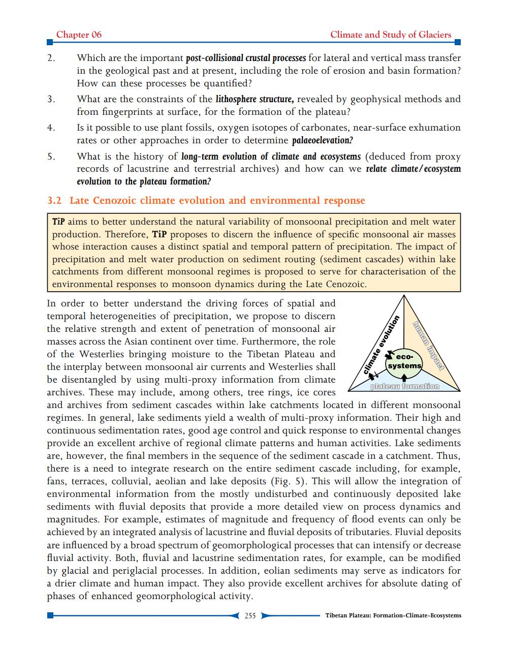
In order to better understand the driving forces of spatial and temporal heterogeneities of precipitation, we propose to discern the relative strength and extent of penetration of monsoonal air masses across the Asian continent over time. Furthermore, the role of the Westerlies bringing moisture to the Tibetan Plateau and the interplay between monsoonal air currents and Westerlies shall be disentangled by using multi-proxy information from climate archives. These may include, among others, tree rings, ice cores and archives from sediment cascades within lake catchments located in different monsoonal regimes. In general, lake sediments yield a wealth of multi-proxy information. Their high and continuous sedimentation rates, good age control and quick response to environmental changes provide an excellent archive of regional climate patterns and human activities. Lake sediments are, however, the final members in the sequence of the sediment cascade in a catchment. Thus, there is a need to integrate research on the entire sediment cascade including, for example, fans, terraces, colluvial, aeolian and lake deposits (Fig. 5). This will allow the integration of environmental information from the mostly undisturbed and continuously deposited lake sediments with fluvial deposits that provide a more detailed view on process dynamics and magnitudes. For example, estimates of magnitude and frequency of flood events can only be achieved by an integrated analysis of lacustrine and fluvial deposits of tributaries. Fluvial deposits are influenced by a broad spectrum of geomorphological processes that can intensify or decrease fluvial activity. Both, fluvial and lacustrine sedimentation rates, for example, can be modified by glacial and periglacial processes. In addition, eolian sediments may serve as indicators for a drier climate and human impact. They also provide excellent archives for absolute dating of phases of enhanced geomorphological activity.
255
climate evolution
human impact
eco
systems
Tibetan Plateau: Formation-Climate-Ecosystems