Book Title: Indian Antiquary Vol 58
Author(s): Richard Carnac Temple, Charles E A W Oldham, S Krishnaswami Aiyangar, Devadatta Ramkrishna Bhandarka
Publisher: Swati Publications
View full book text
________________
APRIL, 1929
ALEXANDER'S CAMPAIGN ON THE N.-W. FRONTIER
Immediately to the south-east of the village there opens the mouth of a small side valley descending from a steep rocky hill range behind which there lies to the east the large valley of Saidu. The crest of this rugged range rising close on 2,000 feet above Udegrâm, and the extremely precipitous slopes which run down from it westwards, bear a very remarkable mountain fastness, undoubtedly of ancient date, known to the local Pathans as "King Gira's castle." A full description of the site must be reserved for another place. But the few following details will help to convey some idea of the peculiar hill formation which here had offered itself as a natural stronghold.
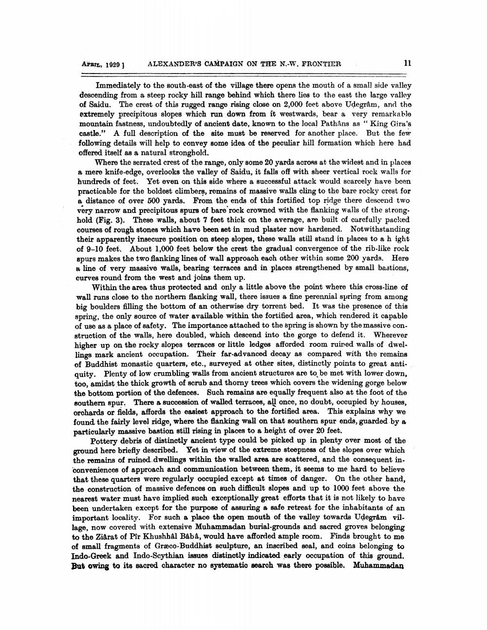
Where the serrated crest of the range, only some 20 yards across at the widest and in places a mere knife-edge, overlooks the valley of Saidu, it falls off with sheer vertical rock walls for hundreds of feet. Yet even on this side where a successful attack would scarcely have been practicable for the boldest climbers, remains of massive walls cling to the bare rocky crest for a distance of over 500 yards. From the ends of this fortified top ridge there descend two very narrow and precipitous spurs of bare rock crowned with the flanking walls of the strong. hold (Fig. 3). These walls, about 7 feet thick on the average, are built of carefully packed courses of rough stones which have been set in mud plaster now hardened. Notwithstanding their apparently insecure position on steep slopes, these walls still stand in places to a hight of 9-10 feet. About 1,000 feet below the crest the gradual convergence of the rib-like rock spurs makes the two flanking lines of wall approach each other within some 200 yards. Here # line of very massive walls, bearing terraces and in places strengthened by small bastions, curves round from the west and joins them up.
Within the area thus protected and only a little above the point where this cross-line of wall runs close to the northern flanking wall, there issues a fine perennial spring from among big boulders filling the bottom of an otherwise dry torrent bed. It was the presence of this spring, the only source of water available within the fortified area, which rendered it capable of use as a place of safety. The importance attached to the spring is shown by the massive construction of the walls, here doubled, which descend into the gorge to defend it. Wherever higher up on the rocky slopes terraces or little ledges afforded room ruined walls of dwellings mark ancient occupation. Their far-advanced decay as compared with the remains of Buddhist monastic quarters, etc., surveyed at other sites, distinctly points to great antiquity. Plenty of low crumbling walls from ancient structures are to be met with lower down, too, amidst the thick growth of scrub and thorny trees which covers the widening gorge below the bottom portion of the defences. Such remains are equally frequent also at the foot of the southern spur. There a succession of walled terraces, all once, no doubt, occupied by houses, orchards or fields, affords the easiest approach to the fortified area. This explains why we found the fairly level ridge, where the flanking wall on that southern spur ends, guarded by a particularly massive bastion still rising in places to a height of over 20 feet.
Pottery debris of distinctly ancient type could be picked up in plenty over most of the ground here briefly described. Yet in view of the extreme steepness of the slopes over which the remains of ruined dwellings within the walled area are scattered, and the consequent inconveniences of approach and communication between them, it seems to me hard to believe that these quarters were regularly occupied except at times of danger. On the other hand, the construction of massive defences on such difficult slopes and up to 1000 feet above the nearest water must have implied such exceptionally great efforts that it is not likely to have been undertaken except for the purpose of assuring a safe retreat for the inhabitants of an important locality. For such a place the open mouth of the valley towards Uļegram vil. lage, now covered with extensive Muhammadan burial-grounds and sacred groves belonging to the Ziarat of Pir Khushbål Baba, would have afforded ample room. Finds brought to me of small fragments of Græco-Buddhist sculpture, an inscribed seal, and coins belonging to Indo-Greek and Indo-Scythian issues distinctly indicated early occupation of this ground. But owing to its sacred character no systematic search was there possible. Muhammadan