________________
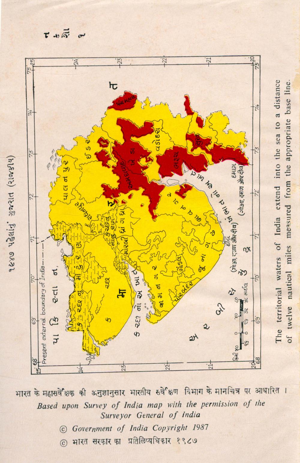
૧૯૪૭ પહેલાંનું ગુજરાત (રાજકીય)
25 68
71°
( 69"
70* Present external boundary of India-.-.
પા ફિ ૨-તા ન,
--
પા
લ
/
ને
૫ ૨
/
2.
+2Ā]
ઈ
ડ ૨
-
234
મા
નીઝ રગ દ્વારા ધ્રાં ગ ધ્ર
અમદાવાદ,
મમમમમ
ક
દી નો
એ
ખી
છે
|
ખ
ગ .
© भारत सरकार का प्रतिलिप्यधिकार १९८७ © Government of India Copyright 1987
Surveyor General of India Based upon Survey of India map with the permission of the भारत के महासवेक्षक की अनुज्ञानुसार भारतीय सवेक्षण विभाग के मानचित्र पर आधारित ।
તા
ગ
૨
જા
મ
ન
.
છે ,
વડોદરા :
- he
*
o p le _
૨
|2
+
( અ ના તપ છે,
M ભા ત ના છે
બી
૪૦
#
દૈવી .
(गोआ, दजण और दीय) 4િ ૨૬ ૩૨ ૪૮ માઈલ 69 70
71
દમણ, (ગોY, ડુમન રીવ)
2[ 68
|
The territorial waters of India extend into the sea to a distance of twelve nautical miles measured from the appropriate base line.