________________
166
EPIGRAPHIA INDICA.
(VOL. XXIII.
were not identical sects and that their tenets differed largely. The matter is an important one and requires further elucidation and study.
Of the places mentioned in the record Tāņdikonda, Lāmu and Gollapundi alone can be identified to-day. Tandikonda is the modern village of Tadikonda in the Guntur taluk of the Guntur District and is situated at a distance of about eight miles to the north of the head-quarters of the district. Among the boundaries of Tändikonda, it may be observed that the two tanks Chayita-tataka and Bhimasamudra are still existing. Bhimasamudra is a huge tank on the bank of which there is a large mound called Bhimalingamu-dibba, where there are extensive ruins of & Siva temple. Chayita-taţāka seems to be the ancient name of a huge tank which occupies an area of about three or four square miles adjoining the village. It is the source of irrigation for an extensive area in the vieinity. Lamu is situated two miles to the south of Tadikonda. There is a village Gollapudi on the northern bank of the Krishna river near Bezwada in Kistna District, about twelve miles to the north of Tädikonda ; and it may be identified with the Gollapundi of the subjoined grant. The remaining villages Ammalapundi and Asuvulaparru can not be traced in that locality. It is probable that Anamarlapündiagrahāram, twelve miles to the south-east of Tadikonda, was the Ammalapūndi of the grant. Perhaps Āsuvulaparru stood on the other side of the river in Bezwada taluk. Gudla-Kandērvvăţi-vishaya was the ancient name of the tract of country lying on the southern bank of the river round the celebrated place Amaravati which was noted for its beautiful temples and chuityas, of Amaravatēsvara and Buddha, respectively. Gudla-Kandērvvaļi means "Kandërvvādi of the temples " for the term gudla means “ of the temples". Apparently that part of Kandēruvāți acquired the name Gudla-Kanderuväți-vishaya from its temples at Amaravati, its chief town. The distriet Kaņdēruvāti-vishaya seems to have acquired its name from the ancient township Kandēru or the modern Kantēru, a village in the Guntur taluk, which must have been a very important place in former times. Kandēruvaţi-vishaya? seems to have been sub-divided into three or four small districts, viz., Kandēruvāți-vishaya, Uttara-Kanderuväţi-vishaya, Imani-Kanderuvāți-vishaya. and GadlaKandiruvāți-vishaya. Kandéruvāți-vishaya comprised apparently the whole of Guntur taluk, the eastern portion of Sattenapalli and the northern parts of Tenäli taluk. The central portion of Gunţūr together with the south-eastern part of Settenapalli taluk was called Uttara-Kandēruvātivishaya. Gudla-Kandēruvāți-vishaya was the name for the northern portion of Guņtār and eastern part of Sattenapalli taluks; and Imani-Kanderuvāti or Imani-Kandravādi-viskaya comprised the northern portion of Tenali taluk
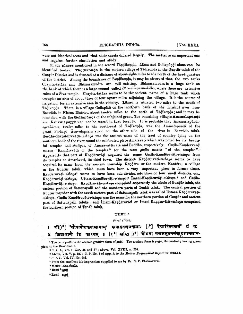
TEXT.
First Plate. 1 47[*] am m a 977GHT: [1] Rurface 2 fra fe
[*] afer [*] At H THQUATTATT. 1 The term gudla is the archaic genitive form of gudi. The modern form is guļa, the medial d having given place to the Dravidian.
* 8. I. I., Vol. I, Nos. 36 and 37 ; above, Vol. XVIII, p. 268. . Above, Vol. V, p. 127; C. P. No. 1 of App. A to the Madras Epigraphical Report for 1913-14. .8. I. T., Vol. IV, No. 681. . From the excellent ink-impressions supplied to me by Dr. N. P. Chakravarti. • Metre: Anuaktubh. * Read atat • Road स्वयं.