________________
ગુજરાત, ૧૯૪૦ અને ૧૯૫૬ વચ્ચેને સંક્રાંતિકાલ
_79 Present external boundary of India-.-.પા ફિ ૨તા ના
હક્ક હબ ના સ કાંઠા
ક.છનું :
Yes
-
અ આ તક
ઝાલા વાડે !
પંચમહાલ ત ||
૪ ૨છ નો
અ
ખે
ડા
P
$
© भारत सरकार का प्रतिलिप्यधिकार १९८७
Government of India Copyright 1987
4
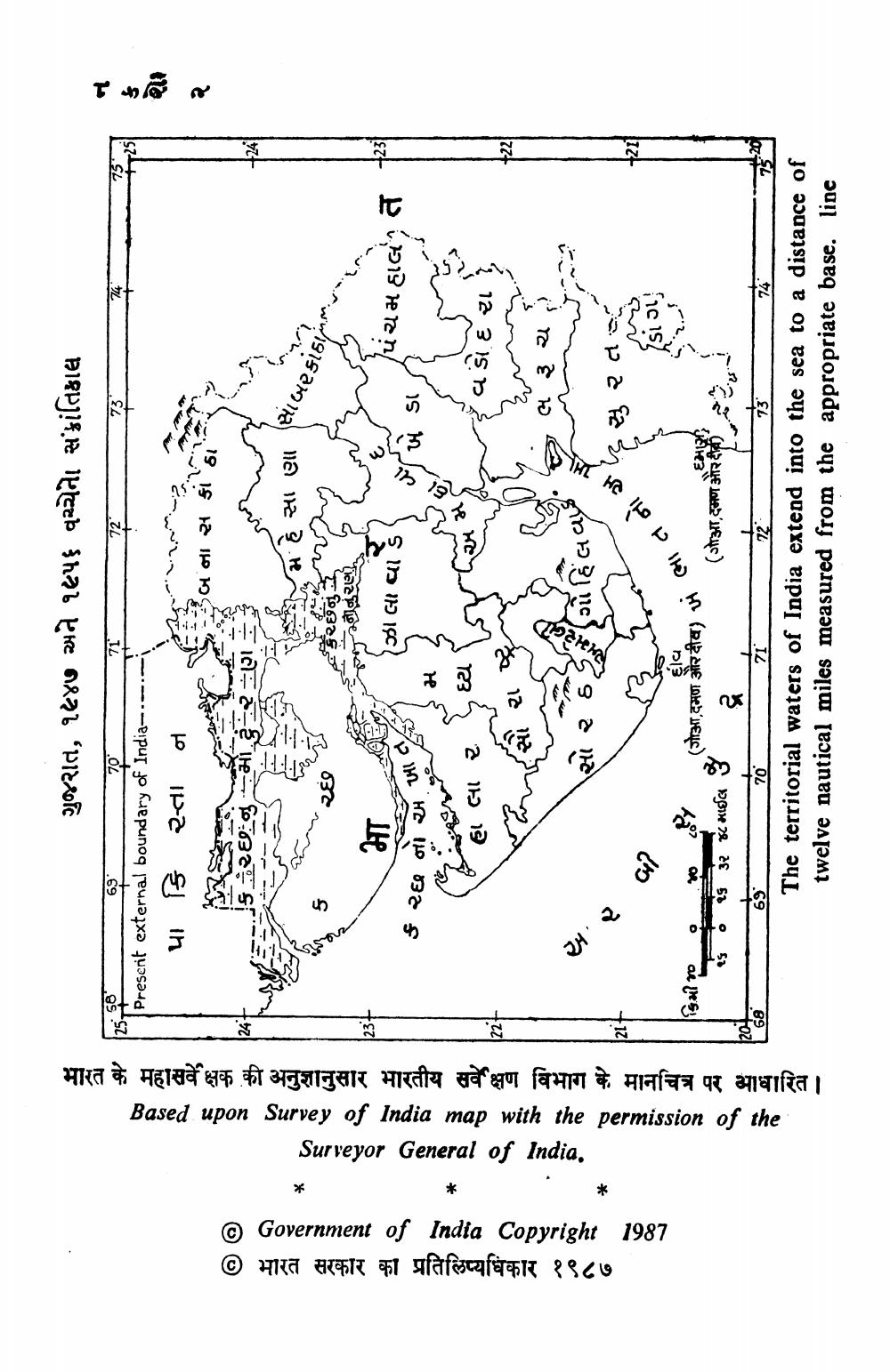
Surveyor General of India. Based upon Survey of India map with the permission of the भारत के महासर्वे क्षक की अनुशानुसार भारतीय सर्वेक्षण विभाग के मानचित्र पर आधारित ।
વડોદરા
M
= =
ર લ ૩ ચ
,
આ
૨
છે
સુ ૨ ત
બી
ભા ત ને
૬
.
વ
:
૯
૦
-
'
૧૬
૦ ૧૬ ૩૨
૮ માઈલ
(s,કમળ પર સીય) ૪ (ગs:કાળ માઈલ જે ટ્ર
છે
?
- મi
– 70
- ~
17The territorial waters of India extend into the sea to a distance of twelve nautical miles measured from the appropriate base. line