________________
NOVEMBER, 1931] REMARKS ON THE NICOBAR ISLANDERS AND THEIR COUNTRY 215
REMARKS ON THE NICOBAR ISLANDERS AND THEIR COUNTRY. BY THE LATE SIR RICHARD C. TEMPLE, BT., C.B., C.I.E., F.B.A., F.S.A. Chief Commissioner, Andaman and Nicobar Islands, from 1894 to 1903. (Continued from page 137.)
12th January.-Left Kondul anchorage at 12 o'clock last night and arrived off Oalkolokwak on the west coast of Katchall at 6-30 a.m. Mr. Man landed to procure information about all the villages on this coast of the Island. Left Oalkolokwak at 10 a.m., and arrived off Puli Pilau on the north-west coast of Camorta at 1-15 p.m. The headman Keapshe came off in a canoe and gave all the information required about the villages at the north end of the Island. Captain Wilson, Captain Anderson, Lieutenant Campbeli and myself landed at the village and walked about four miles to some open country in the south, in search of buffalo, which were said to abound in these parts. We saw several fresh marks of the animals, but not one buffalo itself. Did not get back to the ship till 8 p.m. There was a barquantine from Moulmein, lying at anchor off the coast near here.
13th January.-Left Puli Pilau anchorage at 3 a.m. and arrived off Chowra Island at 6-30 a.m. Left Chowra at 7 a.m. and arrived in Sawi Bay, Car Nicobar, at 1-30 p.m. Mr. Man, Captain Anderson and myself went ashore and walked to Mr. Solomon's house at Mus, to get the result of his Census work on this Island. Three sub-chiefs, Edwin, Sweet William and Chon, of Lapate village, were said to have obstructed his work and to have wilfully omitted 412 of their population in the enumeration. Chon was arrested and taken on board for conveyance to Port Blair as a punishment, the other two had absconded into the jungle, no doubt to avoid arrest. There were two sailing ships from Burma lying in the Bay.
II. GEOGRAPHY.
The Nicobar Islands lie in the Bay of Bengal between Sumatra and the Andaman Islands. Geographically, they are situated between the 6th and 10th parallels of north latitude, and between 92° 40' and 94° of east longitude. The extreme southern point is 91 geographical miles from Pulo Brasse off Achin Head in Sumatra, and the extreme northern point 75 miles from the Little Andaman. They consist of twelve inhabited and seven uninhabited islands running in a rough line from Sumatra to the Andamans. The extreme length of the sea-space occupied by the Nicobars is 163 miles, and the extreme width is 36 miles.
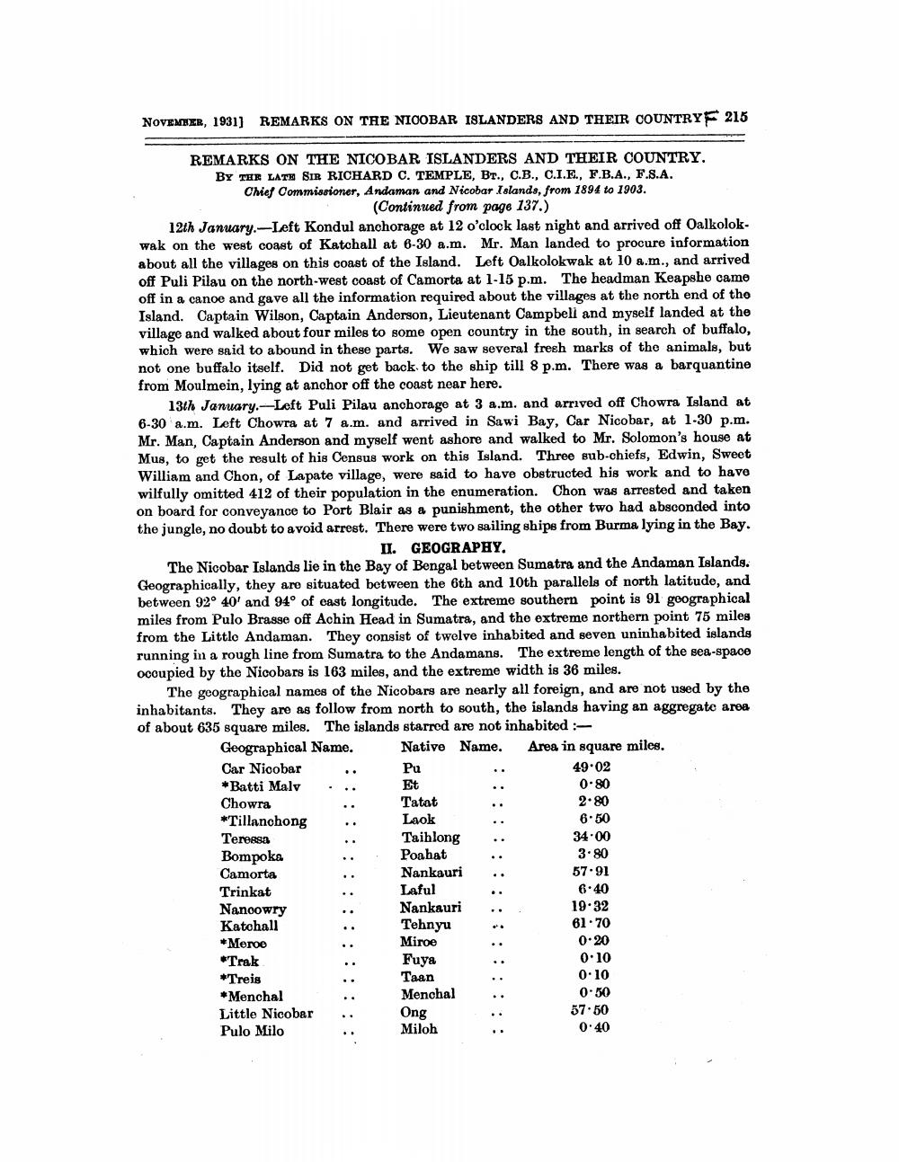
The geographical names of the Nicobars are nearly all foreign, and are not used by the inhabitants. They are as follow from north to south, the islands having an aggregate area of about 635 square miles. The islands starred are not inhabited :
Geographical Name.
Native Name. Area in square miles.
Car Nicobar
*Batti Malv
Chowra
*Tillanchong
Teressa
Bompoka
Camorta
Trinkat
Nanoowry
Katchall
*Meroe
*Trak
*Treis
*Menchal
Little Nicobar Pulo Milo
:::::
Pu
Et
Tatat
Laok
Taihlong
Poahat
Nankauri
Laful
Nankauri
Tehnyu
Miroe
Fuya
Taan Menchal
Ong Miloh
49.02
0.80
2.80
6.50
34.00
3.80
57.91
6.40
19.32
61.70
0.20
0.10
0.10
0.50
57.50
0:40


