________________
30
EPIGRAPHIA INDICA.
Plates of Ananta-Saktivarman, issued from Singhapura1. The Dhavalapeta copper-plates of Umavarman issued from Sunagara' complete the list of these kings.
From the provenance of all these records and the places mentioned therein, it may be surmised that their territory extended in the north to the southern portion of the Ganjam District and in the south to the northern portion of the Godavari District. It is not, however, possible to state whether it was held intact throughout their rule by this line of kings. The plates of king AnantaSaktivarman record the gift of a village in Baraha(Varaha)vartani division to two Brahmans". This division which should have comprised portions of the present Vizagapatam District round about Chicacole is mentioned in the Narasingapalli Plates of the Eastern Ganga king Hastivarman' dated in the Ganga year 79 as having been included in his territory. Sometime later, Pishtapura situated in the southern portion of their territory had passed into the hands of a certain PrithiviMahārāja, probably a subordinate chief under the Vishnukundins, who issued his Tandivada grant from that places, and then to the Chalukyas under Pulikesin II. It may therefore be concluded that this dynasty of kings calling themselves Kalingadhipati should have disappeared before the close of the 6th century A.D. The lower limit may of course be taken to be the middle of the 4th century A.D., when Samudragupta invaded the south and subjugated along with others king Mahendra of Pishṭapura and Kubera of Devarashtra.
[VOL. XXIV.
The relationship of the several kings mentioned above to one another is still obscure, the information contained in their grants being too meagre to throw any light on this point. Simila rity in the alphabet or phraseology employed in their different grants, in the epithets applied to the kings and in names of officers occurring in them is our only guide in attempting any genealogy or chronology of these kings, but it seems to be unsafe to make any suggestions on this slender basis.
Of the places mentioned in the record, Devapura from where the king issued his grant, may be identified with one of the two Zamindari villages-one named Devada in the Srungavarapukota taluk and the other named Deväḍi in the Chicacole taluk. Toptapara, the village granted, perhaps has its representative in the modern Zamindari village Tōṭāda in the Chicacole taluk. It is not possible to identify Kharapuri after which the sub-division was named.
TEXT.'
First Plate.
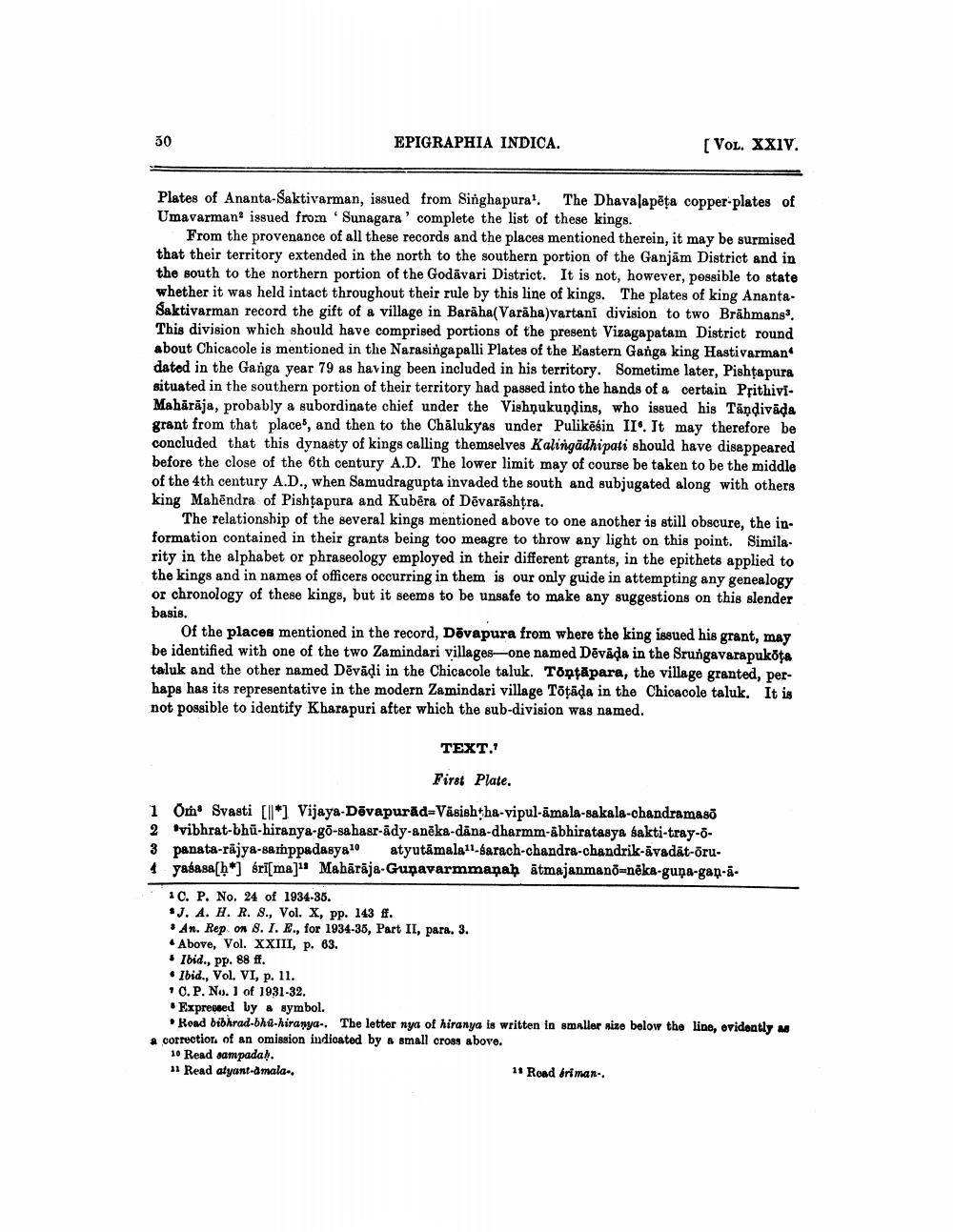
1 Om Svasti [*] Vijaya-Devapurad-Vasishtha-vipul-amala-sakala-chandramasō
2 vibhrat-bhu-hiranya-go-sahasr-ady-aneka-dana-dharmm-abhiratasya sakti-tray-ō
3 panata-rajya-sathppadasya atyutamala11-sarach-chandra-chandrik-āvadāt-ōru
4 yadasah artmaji Mahirkja-Gupavarmmapah Atmajanmand-aka-guna-gap-ā
1 C. P. No. 24 of 1934-35.
J. A. H. R. S., Vol. X, pp. 143 ff.
An. Rep on 8. I. E., for 1934-35, Part II, para. 3.
Above, Vol. XXIII, p. 63.
Ibid., pp. 88 ff.
Ibid., Vol. VI, p. 11.
C. P. No. 1 of 1931-32.
Expressed by a symbol.
Road bibhrad-bhu-hiranya-. The letter nya of hiranya is written in smaller size below the line, evidently as a correction of an omission indicated by a small cross above.
10 Read sampadaḥ. 11 Read atyant-amala..
11 Road briman..


