________________
28
EPIGRAPHIA INDICA.
[VOL. XIII.
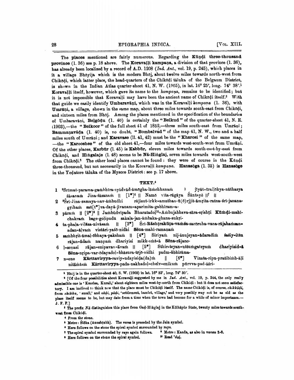
The places mentioned are fairly numerous. Regarding the Kundi three-thousand province (1. 36) see p. 18 above. The Koravalli kampaņa, a division of that province (1. 36), has already been localized by a record of A.D. 1208 (Ind. Ant., vol. 19, p. 245), which places in it a village Bhoyija which is the modern Bhoj, about twelve miles towards north-west from Chikodi, which latter place, the head-quarters of the Chikodi taluka of the Belgaum District, is shown in the Indian Atlas quarter-sheet 41, N. W. (1905), in lat. 16° 25', long, 74° 38'.1 Koravalli itself, however, which gave its name to the kampana, remains to be identified; but it is not impossible that Koravalli may have been the ancient name of Chikodi itself. With that guide we easily identify Umbaravani, which was in the Koravalli kampana (1. 36), with Umraņi, a village, shown in the same map, about three miles towards south-east from Chiköḍi, and sixteen miles from Bhoj. Among the places mentioned in the specification of the boundaries of Umbaravani, Belgōdu (1. 40) is certainly the "Belkud" of the quarter-sheet 41, N. E. (1903), the "Belkoor" of the full sheet 41 of 1852,-three miles south-east from Umraņi; Bammaṇavada (1. 40) is, no doubt, "Bombalvad" of the map 41, N. W., two and a half miles south of Umrani; and Karavase (11. 41, 42) must be the "Kharosi" of the same map, -the "Karooshee" of the old sheet 41,-four miles towards west-south-west from Umrāņi. Of the other places, Karbür (1. 45) is Kabbür, eleven miles towards south-east-by-east from Chikodi, and Hingalaje (1. 48) seems to be Na-Hinglaj, seven miles towards west-south-west from Chikodi. The other local places cannot be found: they were of course in the Kandi three-thousand, but not necessarily in the Koravalli kampana. Hanasōga (1. 35) is Hanasōge in the Yeḍatore taluka of the Mysore District: see p. 17 above.
TEXT.4
1 Srimat-parama-gambhira-syadvad-amogha-limchhanam
} jyat-trikya-nathasya Sasanam Jina-sasanam || [1]6 || Namo vita-rāgāya Santayē || ||
2 Śri-Jina-samaya-nav-ambudhi rajisut-irkk-amathan-a (0)rjjit-amrita-ratna-sri-janana
griham sat[t]va-daya-jivanam-aparimita-gabhiram-a
3 param [2] || Jambudvipada Bharatadol 10 Ambujabhava-săra-srishți Kumḍi-mahichakram bage-golipudu sakala-jan-ambaka-ghana-sukri
4 ta-phala-vilasa-nivasam II [3] Sri-Rashtrakuta-vada-saroruba-vana-rajahaṁhaanadan-Alvam vistari-yaso-nidhi Sena-mahi-ramanam
5 sambbrit-amal-obhaya-paksham | [4] Siriyam nij-anujeyan-adaradim sasiy-itta rajan-adam nappam dhariyisi mikk-amt-a Sena-rajano
6 - jan-enipavan-vais II [5] Sthin teyan-uttumgateyam -senasi ||
dhariyisid=a
Sena-nripa-var-odayadol-bhasura-tejo-sidhi padm-äbhirama
7 n-ene Karttaviryya-raviy-ndayisiḍa (da) m || [6*]
nitamtam Karttaviryya-pada-nakhadol-chelv-enikum parvva-pad-ăśri
1 Bhoj is in the quarter-sheet 40, S. W. (1903) in lat. 16° 32', long. 74° 30'.
[Of the four possibilities about Koravalli suggested by me in Ind. Ant., vol. 19, p. 244, the only really admissible one is Koorlee, Kurali,' about eighteen miles west-by-north from Chikodi: but it does not seem satisfactory. I am inclined to think now that the place must be Chikodi itself. The name Chikodi is, of course, chikkodi, from chikka, small,' and vadi, pādi, 'settlement, hamlet, village,' and very possibly may not be as old as the place itself seems to be, but may date from a time when the town had become for a while of minor importance.J. F. F.]
Vinata-ripu-pratibimb-āli
The prefix Na distinguishes this place from Gad-Hinglaj in the Kolhapur State, twenty miles towards southwest from Chikodi.
⚫ From the stone.
Metre: Sloka (Anushtubh). The verse is preceded by the Jain symbol.
Here follows on the stone the spiral symbol surrounded by rays.
The spiral symbol surrounded by rays again follows.
• Here follows on the stone the spiral symbol.
Metre: Kanda, as also in verses 3-8. 10 Bead dol.


