________________
226
EPIGRAPHIA INDICA.
(VOL. XIII.
Pillai, a Kārttika sakls 12 is a Mahā-dvadasi when either it or the previous tithi is current on two successive sunrises. But this was not the case in this year, so it was not a Mahā-dvadasi. But it might have been called a Maha-tithi, for the reasons given above (ceremonial). On the other hand, I have a note that Albērāni says that Kārttika sukla 12 was an unlucky' tithi."
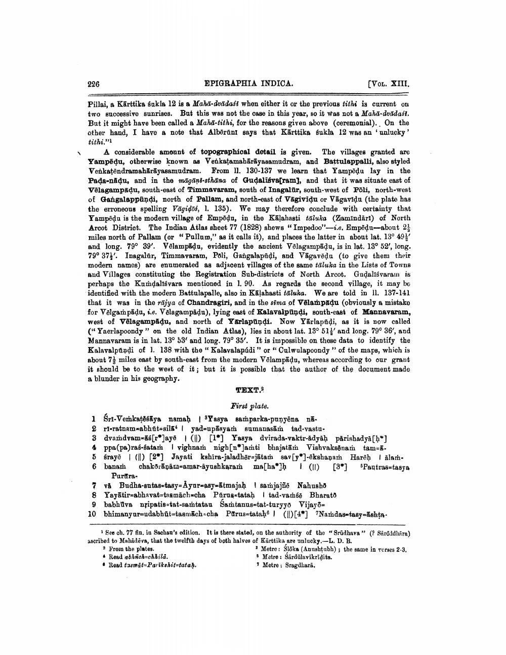
A considerable amount of topographical detail is given. The villages granted are Yampēdu, otherwise known as Venkatamabārāyasamudram, and Battulappalli, also styled Venkatēndramahārāyasamudram. From 11. 130-137 we learn that Yampēdu lay in the Pada-năļu, and in the māgāns-sthāna of Gudaliśve[ram), and that it was situate east of Vēlagampadu, south-east of Timmavaram, south of Inagalür, south-west of Poli, north-west of Gangalappandi, north of Pallam, and north-east of Vāgividu or Vägavidu (the plate has the erroneous spelling Vāgidos, 1. 135). We may therefore conclude with certainty that Yampēdu is the modern village of Empēdu, in the Kalahasti tāluka (Zamindāri) of North Arcot District. The Indian Atlas sheet 77 (1828) shews "Impedoo"-1.. Empēdu-about 2 miles north of Pallam (or "Pallam," as it calls it), and places the latter in about lat. 13° 49 and long. 79° 39'. Vēlampāda, evidently the ancient Volagampādu, is in lat. 13° 52',long. 790 37}. Inagalär, Timmavaram, Poli, Gangalapāļi, and Vāgavēda (to give them their modern namos) are enumerated as adjacent villages of the same taluka in the Lists of Towns and Villages constituting the Registration Sub-districts of North Arcot. Gudaliśvaram is perhaps the Kundaliśvara mentioned in 1. 90. As regards the second village, it may bo identified with the modern Battulapalle, also in Kalahasti tāluka. We are told in Il. 137-141 that it was in the rājya of Chandragiri, and in the sima of Vēlampadu (obviously & mistako for Vēlgam pādu, i.e. Velagampāļa), lying east of Kalavalpūņdi, south-east of Mannavaram, west of Vēlagampāļu, and north of Yarlapiņdi. Now Yārlapadi, as it is now called ("Yaerlapoondy" on the old Indian Atlas), lies in about lat. 13° 51' and long. 79° 36', and Mannavaram is in lat. 13° 53' and long. 79° 35'. It is impossible on these data to identify the Kalavalpundi of 1. 138 with the "Kalavalapúdi" or "Culwulapoondy" of the maps, which is about 7 miles east by south-east from the modern Vēlampāļu, whereas according to our grant it should be to the west of it; but it is possible that the author of the document made a blunder in his geography.
TEXT.2
First plate. 1 Śri-Verkatehāya namaḥ 1 'Yasya samparka-punyëna nā. 2 ri-ratnam abhūt=sila | yad=upāsyam sumapasām tad-vastu. 3 dvardvam-ās[ro]aya (ID [1*] Yasya dvirada-vaktr-adyaḥ părishadya[h*] 4 ppa(pa)ras-batam | vighnam nigb[n*]anti bhajatām Vishvaksēnam tam=5 graye (I) [2] Jayati kshira-jaladhër-jātam sav[y]-ekshanam Hare) I alam6 banam chakörāpān=amar-iyushkaram ma[haw] (11) [3] Pagtrastasya
Purtira vå Budha-antastasy-Ayar=asy=ātmajah samjajõe Nahusho 8 Yayātir=abhavatta mäch=cha Pärus-tataḥ 1 tad-vamśě Bharato 9 babhuva nripatis-tat-samtata. Samtanus=tat-turyyo Vijayo= 10 bhimanyar=udabhūt=tasmach-cha Parus=tataḥ 1 (ID [4"] "Namdastasy-Ishta.
1 See ch.77 fin. in Sachau's edition. It is there stated, on the authority of the "Srudhava" (? Sarõddhara) ascribed to Mahadeva, that the twelfth days of both halves of Kärttika are unlucky.-L. D. B. ? From the plates.
Metre: Slöks (Anushtubh); the same in verses 2-3. • Read abhich=chlila.
5 Metre : Sardūlavikridits. • Read tasmat=Parikshittata).
7 Metre: Sragdhara.


