________________
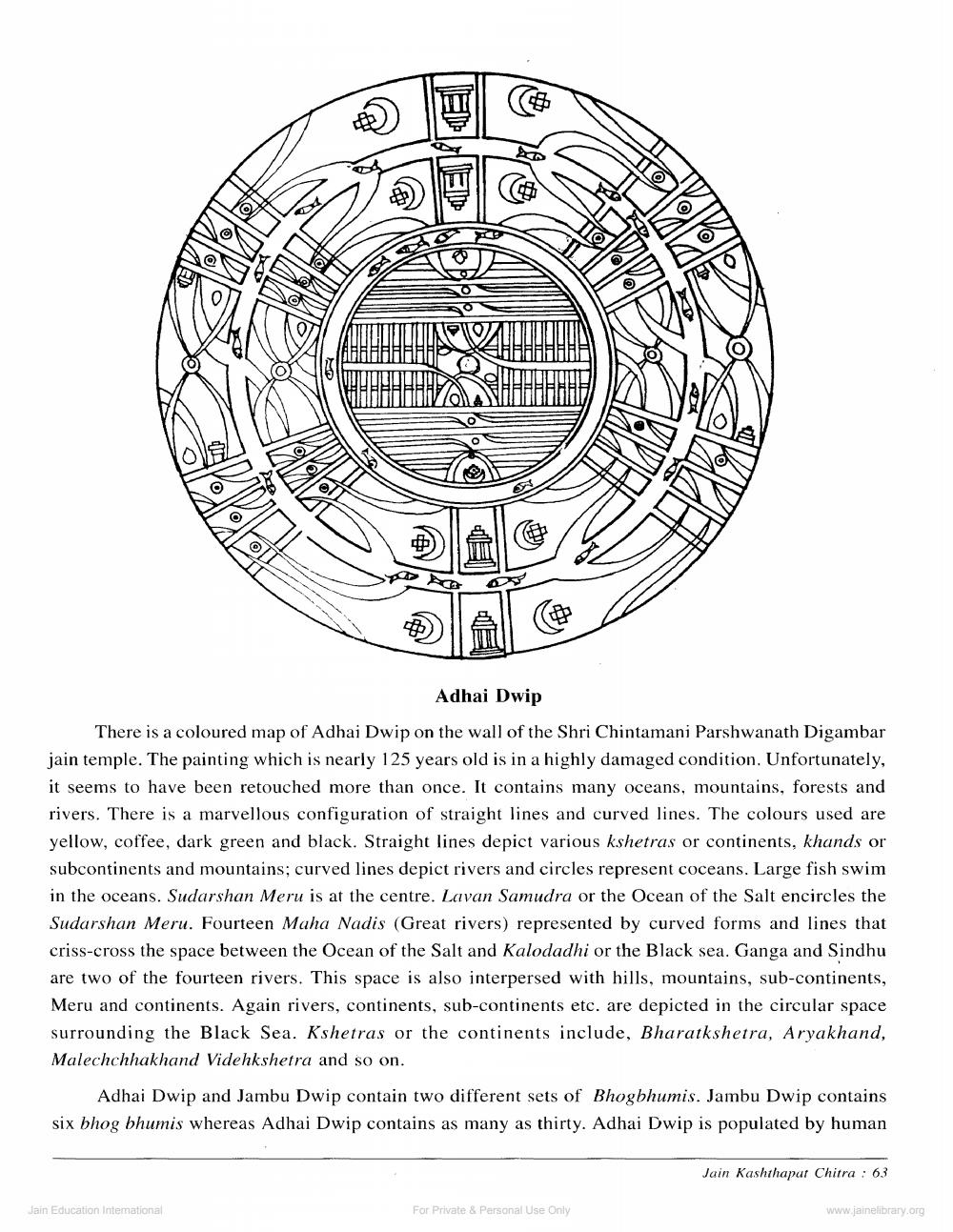
Adhai Dwip
There is a coloured map of Adhai Dwip on the wall of the Shri Chintamani Parshwanath Digambar jain temple. The painting which is nearly 125 years old is in a highly damaged condition. Unfortunately, it seems to have been retouched more than once. It contains many oceans, mountains, forests and rivers. There is a marvellous configuration of straight lines and curved lines. The colours used are yellow, coffee, dark green and black. Straight lines depict various kshetras or continents, khands or subcontinents and mountains; curved lines depict rivers and circles represent coceans. Large fish swim in the oceans. Sudarshan Meru is at the centre. Lavan Samudra or the Ocean of the Salt encircles the Sudarshan Meru. Fourteen Maha Nadis (Great rivers) represented by curved forms and lines that criss-cross the space between the Ocean of the Salt and Kalodadhi or the Black sea. Ganga and Sindhu are two of the fourteen rivers. This space is also interpersed with hills, mountains, sub-continents, Meru and continents. Again rivers, continents, sub-continents etc. are depicted in the circular space surrounding the Black Sea. Kshetras or the continents include, Bharatkshetra, Aryakhand, Malechchhakhand Videhkshetra and so on.
Adhai Dwip and Jambu Dwip contain two different sets of Bhogbhumis. Jambu Dwip contains six bhog bhumis whereas Adhai Dwip contains as many as thirty. Adhai Dwip is populated by human
Jain Kashthapar Chitra : 63
Jain Education Intemational
For Private & Personal Use Only
www.jainelibrary.org


